
Field Trip to Hughes Mountain

June 7 , 2023
by Geoff Stillwell, Carl Davis, Sue Forquer
Two well-known hiking destinations include Hughes and Buford Mountain. Buford Mountain is higher. Buford Mountain is further, rises to 1740 ft. and the trail is considered to be challenging. Hughes Mountain is 1 hour south of St. Louis. It is approximately 1200 ft. in elevation and about 430 ft. above the surrounding terrain. The “summit’ is a large relatively flat area that can be accessed by an easy trail. We knew scattered showers were forecast for about 1:00, but we voted to get out and enjoy what time we had. We were on the trail by 10:15 and the Summit by 11:30. We all had separate experiences and agreed to write this article as a group collaboration.

Trail to Summit (photo by Geoff Stillwell)
Rain set in about 12:30 but was gentle intermittent sprinkles on the way down. I covered some geology of the area, some Island biogeography, and some life cycle adaptation strategies (Type I, Type II, and Type 3 curves) which may be construed as the basis of conservation biology.

View of Big River Valley at Summit. (photo by Geoff Stillwell)

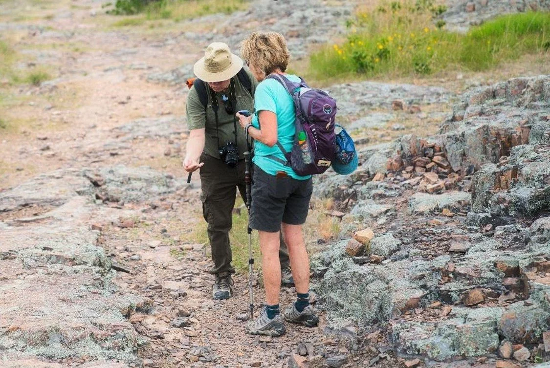
Musketeers at Summit (photo by Sue Forquer)
Geological Overview
Hughes mountain is named for John Hughes, the first European settler in 1810. Unfortunately, there is little history about indigenous peoples in the region, a situation which we may correct in the next trip. The Precambrian rocks are 1.5 billion years old. The St. Francois and Boston Mountains are the only true mountains in the Ozarks (Wiki, Ozarks). They were built from mountain forming processes as opposed to erosion of carbonate plateaus, which forms most of the hilly and karst landscape. At that time multicellular plants and animals had not colonized land. This event likely occurred after there was sufficient ozone, the Precambrian explosion, and evolution of plants with adaptations that might survive on land some 600-500 million years ago. 1.5 billion years ago the Ozarks were a 10,000 ft. volcanic chain of islands in an interior seaway.. We think metal ores may be deposits created by smokers in the reefs of that time. Hughes mountain was likely formed by the emplacement of alternating interlayers of lava and ash. I incorrectly thought that column formation required emplaced solidification of magma and then erosion of overbearing ash structure. In reality the columns are composed of rhyolite, not granite, indicating the cooling process was rapid not slow. The polygonal jointing (column formation) results from contraction during rapid cooling of rhyolite and granite. According to Berri, 2009 at the summit there is approximately 10 acres of columnar sheets (3-6 ft. thick) locally known as “Devil’s Kitchen”. He notes that such structures are associated with volcanic vents. Hughes is the best example of jointing in Mo. Other popular features associated with lava flows include Johnson Shut Ins and Rocky Falls.

Devils Honeycomb, formed by rapid rapid cooling of rhyolite and granite. (photo by Geoff Stillwell)
Natural Communities
The top area is relatively flat and has areas of natural glades with native grasses, wildflowers, and exposed rock. The area is 2/3 woodlands dominated by stunted white and blackjack oak and blackjack hickories. Eastern Cedar is also common (MDC, 2020).
Sue Forquer On Hughes Mountain
Hughes Mountain-an interesting geological area! I highly recommend a visit. It is a short hour's drive from St. Louis and a natural area worth checking out. A short uphill hike takes you to the top and to the feature known as Devil's honeycomb. The views are wide and open. Glade flowers dotted the top during our early summer visit. Look for the elusive collared lizard, better luck next time for this group. But thanks to the sharp eyes of Carl we did see the lichen grasshoppers which blend beautifully with the lichen covered rocks. The fall would be a wonderful time to visit, the bonus of panoramic fall color.

Glade flowers (photo by Geoff Stillwell)
Carl Davis on Hughes Mountain
Thanks to Geoff for suggesting this hike. Hughes Mountain is another amazing Missouri topography. One specific type of glade of which I was not aware. Geoff being knowledgeable of physical ecology explained to Sue and me how the formations we were seeing formed as well as many other geological facts. What an interesting and enjoyable hike it was. It would be well worth a revisit, without threatening weather, to take some of the side trails. Thankfully what little lightening was around stayed way off in the distance.
Wildlife was pretty scarce. No collared lizards or roadrunners, but there was one awesome insect. Evolution had worked its magic on this little creature. If it had not hopped, the lichen grasshopper would have been all but invisible. The lichen grasshopper ranges from the Rockies to the Appalachians but is found only in isolated, very special habitats. MDC's description is included and is well worth the read as these insects are quite special.

Lichen Grasshopper (photo by Carl Davis)

Try another. Actually it is much easier in the pictures than being there.
(photo by Carl Davis)
Scientific Name: Trimerotropis saxatilis
Common Name referenced by MDC: Lichen Grasshopper
Other Common Names: Rock-Loving Locust; Rock Grasshopper
The lichen grasshopper is strongly limited to its rocky, open habitat, and each Missouri population tends to occur only within a particular glade. Missouri glades may be limestone, dolomite, chert, sandstone, or granite, and they usually occur on hilltops or other high areas. Missouri glades are separated by forests or woodlands, which these grasshoppers are loathe to enter into. When disturbed, a lichen grasshopper will hop or fly away, but it almost never will enter the woods. It will circle back to stay in the open area of the glade.
Therefore, the surrounding woodlands prevent the grasshoppers from moving from glade to glade and interbreeding. It also prevents a population in one glade from being able to repopulate a glade whose population has been killed off for some reason. A recent study showed that Missouri populations of lichen grasshoppers usually are made of fewer than 280 individuals.
Glade conservation is critical to the survival of this nifty insect. Over the years, many of Missouri's glades have been colonized by eastern red cedar and then reverted to forest. Glades are kept open by naturally occurring fires. Long-term fire suppression has led to the loss of glades. As conservationists have learned about the role of periodic disturbance in the glade ecosystem, they have begun restoring glades with cedar removal and prescribed fire.
The lichen grasshopper's overall range extends from eastern Colorado and Wyoming and northeastern New Mexico east to the western Carolinas and Georgia. The centers of population are in the Ozark, Ouachita, and southern Appalachian mountains, as well as eastern portions of the Rockies and rocky places in the Great Plains.
Carl Davis and Sue Forquer (photo by Geoff Stillwell)
Conclusion
Carl’s write up motivated a discussion of Island biogeography (also known as insular ecology) that we discussed on the hike. Even if glades were as common as other times in history, they are habitat islands separated in space by an ocean of woodlands and other more common habitats. A similar situation exists for national parks in a sea of agriculture and other isolated ecologies. The theory comes from E. O. Wilson (the ant entomologist) and Robert McArthur (Wikipedia, 4/2023). Imagine you have an Island and you count the number of species on the island, rate of species immigration to the Island, and the rate of extinction of species; all over many numbers of species and make the figure below. This is a species number, not a population of individuals.

The rate of immigration will be larger for a larger Island, because the probability of landing on the island is higher. The rate of immigration will be smaller for a smaller Island, because the probability of landing on the island is lower. The rate of extinction will be lower on a large island due to more habitat and larger diversity of habitat. Smaller islands generally have a greater extinction rate. The species number on the island where immigration rate = extinction rate and will be the long-term population of species number.
The figure below (from Wikipedia archives, https://commons.wikimedia.org/wiki/File:Island-biogeography.jpg ) illustrates all of these factors in one place.

And so using ideas like these and standing in our glade island, we may be able to understand immigration rates and dispersal rates to/from our glade from other glades of known sizes in our vicinity. With analysis we may expand our understanding to individual species numbers and populations. Standing on the summit you may also wonder about the sustainability of glades and glade species into the future. At that same time you might consider our situation in our habitat islands. And though this Big River view might be pleasant it has many superfund sites, contaminated surface water, and a contaminated fishery. Though used for recreation, there are few ecosystem services from the Big River for 80 miles in the immediate region. In the old lead belt residents worry about lead contamination of the dirt in their yards and the dust they vacuum in their homes. Ecology over spatial extent is biogeography, and one may think of Earth’s biogeography as a snapshot of a biome in time. Through time these snapshots are evolutionary ecology. We may lower or increase our sustainability indirectly by creating an environment of greater or less adversity through our actions.. This is a journey that we share with all fellow creatures and biota. As Master Naturalists we work to lower that adversity. Our civilization has yet to learn how to provide for humanity without harming many natural communities. As Rachel Carson commented, we need to be careful of our impact because of “unintended consequences”. Standing on a little piece of rock, it is enjoyable and good to appreciate the beauty and communities of the natural landscape. It is also wise to think that raising extinction rates in all communities is not an action of a thinking people about their future.
Sources
Berri R. Igneous Geology od Southeast Missouri: Volcanic Features, Granite Emplacement, Itrusions and Mineralization. 10/2009. Accessed at http://www.missourigeologists.org/Meeting2009/AMGguidebook2009.pdf
MDC. Hughes Mountain Natural Area (Brochure). 12/2020. Accessed at https://mdc.mo.gov/sites/default/files/2020-12/8252.pdf
Wikipedia. Hughes Mountain. O2/04/2023. Accessed at https://en.wikipedia.org/wiki/Hughes_Mountain#:~:text=The%20mountain%20reaches%20an%20elevation,rhyolite%20glade%20at%20its%20top .
Wikipedia. St. Francois Mountains. 4/2023. Accessed at https://en.wikipedia.org/wiki/St._Francois_Mountains
Wikipedia. Ozarks. 6/2023. Accessed at https://en.wikipedia.org/wiki/Ozarks
Wikipedia. The Theory of Island Biogeography. 4/2023. Accessed at https://en.wikipedia.org/wiki/The_Theory_of_Island_Biogeography